 |
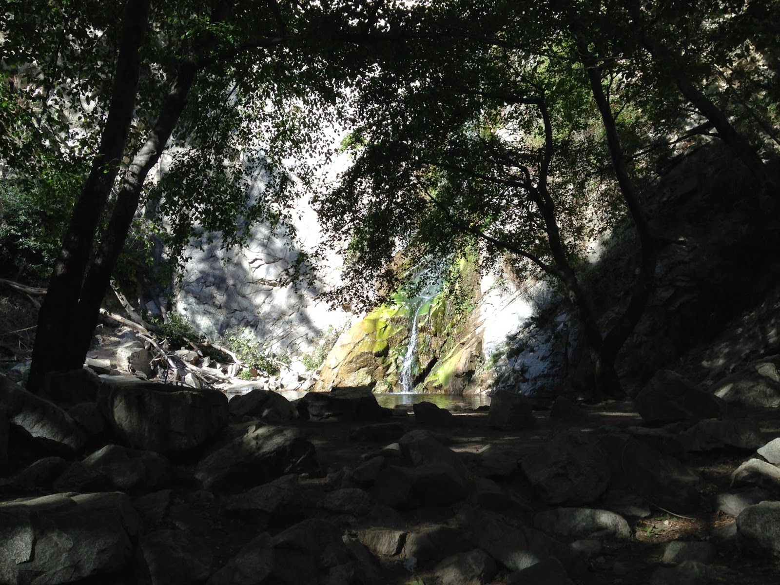
| Cool under the canopy: Sturtevant Falls May 12 2014 |
With red flag warnings for heightened fire danger across SoCal in place through Wednesday evening, City of Sierra Madre officials have closed access to several trails including those in Big Santa Anita Canyon.
MOUNTAIN AREAS CLOSED: Due to the high winds and high fire danger Chantry Flats, Bailey Canyon Park, and Mt.... http://t.co/fAKWNCGCTX
— City of Sierra Madre (@CitySierraMadre) May 13, 2014
The city tweeted the exact same announcement at 8:18 a.m. Monday May 12, but by that time several people were already on trails in Big Santa Anita, including me.
I walked past Spruce Grove and Sturtevant Camp to get up to Mt. Wilson, and found a Los Angeles County Flood Control marker near the summit, where you might expect to see a U.S. Geological Survey benchmark.
 |
| Marker overlooking Big Santa Anita Canyon |
Whatever the marker signifies, it's a fact L.A. County Flood Control and the Forest Service installed numerous check dams in Big Santa Anita in the early 1960s to slow erosion in the cabin-strewn lower canyon.
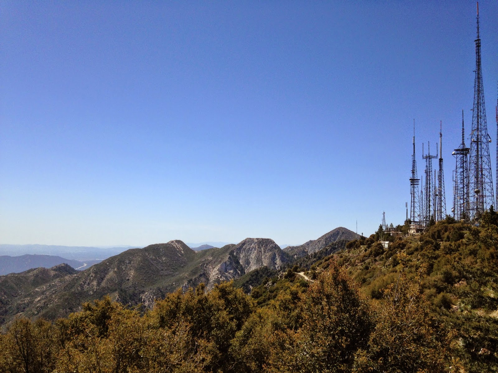
The view looking east from Mt. Wilson includes Mt. San Antonio, aka Baldy, on the Los Angeles-San Bernardino county line.
 | |
| San Gabriel Mountains in L.A. County: May 12 2014 |
On top of Mt. Wilson are numerous observatories, including the 100-inch Hooker Telescope dome that became operational in 1917.
 |
| Historic telescope dome on Mt. Wilson: May 12 2014 |
There's also the antenna farm from which TV stations transmit across the L.A. designated media market.
 |
| Antennas on Mt. Wilson: May 12 2014 |
The Station Fire, largest in Los Angeles County history, threatened Mt. Wilson in late August and early September 2009. Inside an observatory museum on the summit is a photograph reminding visitors of the ever-present fire danger.
 |
| Displayed in Astronomical Museum on Mt. Wilson |
I walked past Mt. Harvard and down Winter Creek to Chantry Flat. Driving out I found the road gate in Sierra Madre closed and apparently locked. With the help of a local mountain biker I got it open and headed home.
As of Tuesday afternoon, red flag warnings remained in effect for Los Angeles, San Bernardino, Riverside, San Diego and Ventura counties through 8 p.m. May 14, according to the National Weather Service.
Update 6:20 p.m. The Bernardo Fire burning in north San Diego County prompted officials to order evacuations for residents of more than 20,000 homes and residences in the 4S Ranch, Fairbanks Ranch and eastern Rancho Santa Fe areas, according to sheriff's and county officials.
An evacuation point was set up at Torrey Pines High School, 3710 Del Mar Heights Road.
The fire was reported about 11 a.m. Tuesday off Nighthawk Lane southwest of Rancho Bernardo, according to Cal Fire. It was estimated at 800 acres with 5 percent containment.
-30-

No comments:
Post a Comment