Thursday, August 7, 2014

mountains to desert: 2014 warmest on record


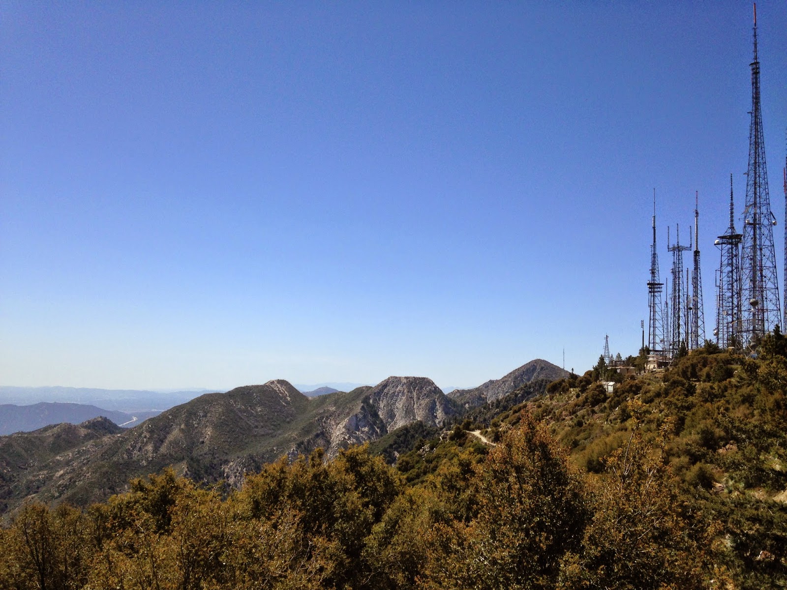
Below San Bernardino Peak: May 28 2014

The first seven months of 2014 were the warmest on record based on mean average temperatures in locations including Big Bear Lake, Palm Springs and Santa Ana, the National Weather Service announced this week.

The records date back to 1960 for Big Bear, 1917 for Palm Springs and 1916 for Santa Ana, NWS San Diego meteorologist Steve Harrison said in a phone interview Aug. 7.

The January to July period this year was also the second-warmest on record for Riverside, where records have been kept since 1893, Harrison said.

The maximum 7-month mean average temp from January to July 2014 was 49.8 for Big Bear, 77.3 for Palm Springs, 68.4 for Riverside and 68.0 for Santa Ana, according to stats published by the Weather Service. View the full stats table at this link.


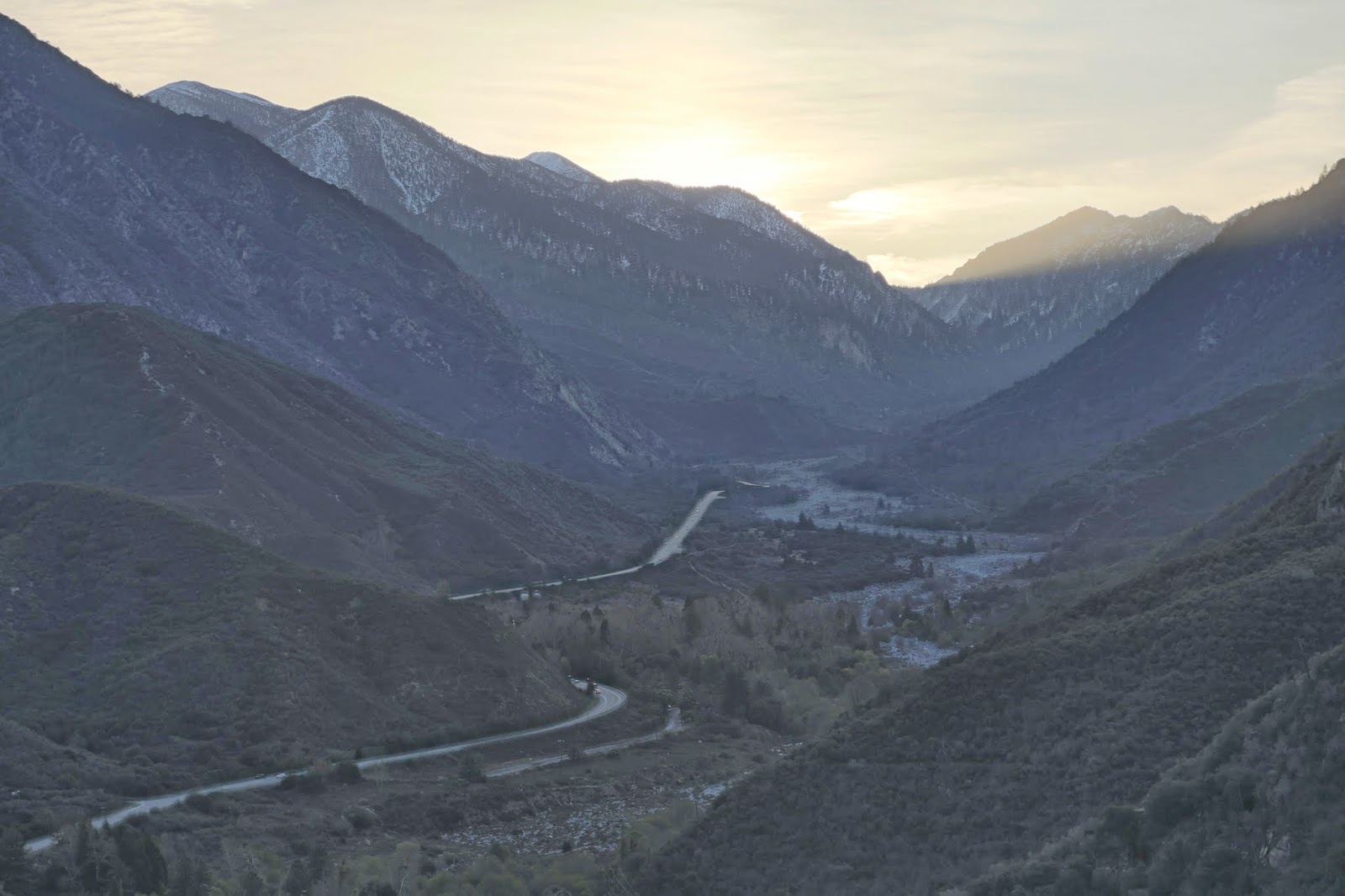
Above Forest Falls: May 28 2014

Meanwhile scientists at the U.S. Drought Monitor this week continued clocking how dry 2014 has been so far across California. Intense thunderstorms that unleashed boulder-laden flash floods Sunday in Forest Falls and Mount Baldy did little to ease severe, extreme and exceptional drought conditions statewide, monitor officials said in a report.

"A strange thing happened on the path to California's historic drought: it rained," the Aug. 5 report states. "Although the rain's overall effect on the drought were inconsequential, there were some short-term benefits such as reduced irrigation demands and evaporation rates; lower temperatures in the wake of record-setting heat; and temporary relief for drought-stressed rangeland and pastures.

"Reasons that California's rain did not provide substantial drought relief included: 1) a lack of widespread coverage of the heaviest showers, 2) the fact that heavy showers mostly fell outside California's key watershed areas in the Colorado River basin and the Sierra Nevada, and 3) the fact that the high runoff rate of the heaviest rain did not allow for significant percolation into drought-parched soils," the report states.

View the latest California drought map here, and the Aug. 5 report here.

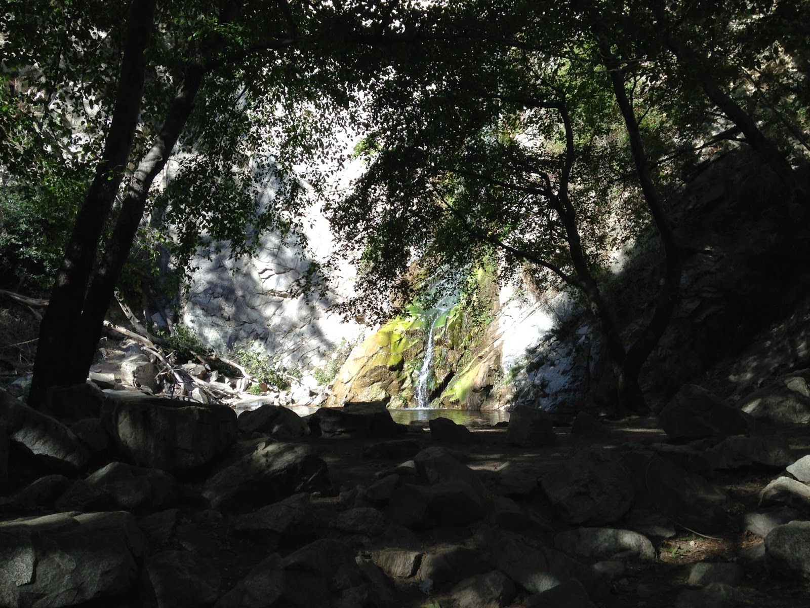
San Jacinto Mountains and Coachella Valley: June 3 2014

The Aug. 3 flash floods in Forest Falls and Mount Baldy damaged numerous homes and camps, temporarily blocked the only roads in and out of the canyon communities, and prompted county officials to issue an emergency proclamation seeking help to recoup millions of dollars in response and cleanup costs.

Photos by Guy McCarthy

Wednesday, August 6, 2014

mountain flood costs rising


Volunteers and firefighters on Goat Hill Road in Mount Baldy: Aug. 5

Update 9:29 a.m. Valley of the Falls Drive and Prospect Drive in Forest Falls were open to the public Wednesday morning, San Bernardino County officials tweeted. Countywide damage estimates from Sunday's flash floods were approaching $11 million. 

Posted 6:59 a.m. Emergency response costs to boulder-laden flash floods Aug. 3 in Mount Baldy and Forest Falls were estimated at $9.76 million as of Tuesday morning and expected to rise, San Bernardino County's emergency services manager told the Board of Supervisors.

Public assistance and individual assistance in the wake of Sunday's debris flows totaled $5.26 million and $4.5 million respectively, county OES manager Mike Antonucci said Aug. 5 in San Bernardino.

In Mt. Baldy, 12 homes were severely damaged and seven sustained moderate damage, according to county officials.

Forest Home, the ministry that runs several camps in Forest Falls, issued a "Disaster Relief 2014" appeal for donations Tuesday.

"Preliminary estimates for repair are over $750,000," Forest Home's executive director Gary Wingerd said in a statement. "At this time, we are not sure what part insurance will play in these costs, if any.

"We do know from past weather events like this that there could be hundreds of thousands of dollars of repairs that will not be covered by insurance," the statement said. "The work must be done quickly to prevent further damage."

Utility and road work below Slide Creek in Forest Falls: Aug. 5

Many home insurance policies do not cover losses from "moving earth," county Board of Supervisors chair Janice Rutherford told her colleagues Tuesday morning.

An estimated 4.7 inches of rain were recorded Sunday afternoon in Mount Baldy. Records indicate it was the most intense storm to hit the village since historic rains and flooding in 1969, county fire spokeswoman Tracey Martinez said at the Baldy fire station.

Photos by Guy McCarthy

Friday, June 20, 2014

back to the karakoram


Nick Rice on K2 near Broad Peak: 2008 photo courtesy Nick Rice

A Los Angeles-based mountaineer who was on K2 when 11 climbers died in August 2008, then survived a serac fall high on Annapurna in 2010 that left him with a brain injury, is heading back to the Karakoram in Pakistan to attempt Broad Peak, an 8,000-meter summit that rises into the "death zone" within sight of K2.

Rice, 29, has been recovering the past four years and studying to prepare for premed at UCLA, where he's been doing clinical research at Ronald Reagan Medical Center in the emergency department. He's planning to begin full-time studies in microbiology, immunology and molecular genetics this fall, he said in a phone interview June 19.

It was a "car-sized piece of ice" that narrowly missed killing Rice in April 2010 on Annapurna, another of the world's highest, most dangerous mountains, located in Nepal. Debris from the shattering ice block broke his helmet in three places, and doctors warned him to stay below 16,000 feet elevation for six months to a year so that swelling from the deep trauma brain injury could subside, Rice said in a later email. "This is what prompted me to return to university."

Asked why he's motivated to return to the Karakoram to climb to heights where there is not enough oxygen to sustain human life, Rice quoted Jim Whittaker, expedition leader for the first American team to summit K2 in 1978:

Being out on the edge with everything at risk is where you learn and grow the most.

"I return from every expedition a changed person," Rice said. "I've gone through a lot of traumatic experiences on many of my climbs, but each has taught me something important, and I'm equally grateful for my successes and failures."

Rice is planning to climb Broad Peak with three Spaniards, including experienced Himalayan climber Catalina Quesada, 45, of Sevilla, who teamed with Rice on a recent expedition to 23,400-foot Peak Lenin on the border of Kyrgyzstan and Tajikistan, former republics of the Soviet Union. Climbing veterans Maria Pilar Agudo and Carlos Garranzo round out their team.


Catalina Quesada and Rice on Peak Lenin: 2013 photo courtesy Nick Rice
 
Rice said he is planning to fly Monday June 23 from LAX to Dubai, then to Islamabad where he'll meet up with Quesada, Agudo and Garranzo. Weather will dictate when they fly onward to Skardu in northeast Pakistan.

After ensuring their equipment arrives safely, they'll jeep from Skardu to Askole, and from there begin the 12-day trek to Broad Peak base camp at around 18,000 feet elevation, Rice said.

"We will use Pakistani porters to help us to bring our food and equipment to base camp only but will not use High Altitude Porters for the actual climb above Base Camp," Rice said.

Broad Peak's summit stands at estimated 8,047 meters - 26,400 feet - above sea level. Five climbers, three Iranian and two Polish, died on Broad Peak in 2013. According to AlpinismOnline and other sources, more than 20 others have died on Broad Peak since 1975.

The first ascent of Broad Peak was accomplished in 1957 by four Austrians: Marcus Schmuck, Fritz Wintersteller, Hermann Buhl and Kurt Diemberger.

Rice and his team do not plan to use oxygen on their summit attempt. Rice said he plans to return to Los Angeles on Aug. 9. Rice was born and raised in Hermosa Beach and he lives in the Carthay Square area of LA, near Fairfax and Olympic.

For background see:

Karakoram Story

'Death Zone'

Cowboys on K2

-30-

Thursday, June 5, 2014

unofficial mayor of angelus oaks: mountain businesswoman fondly remembered

Janet Audrey Dickerson: 1934-2014

A mountain businesswoman who ran the Country Store on Highway 38 in Angelus Oaks for more than 25 years was remembered Thursday during a memorial service in Beaumont.

Janet Audrey Dickerson died May 28 in Angelus Oaks. She was 79.

Between 1981 and 2007, Jan and her Country Store were well-known to generations of mountain residents, visitors, and travelers along a 50-mile stretch of the 38 between Mentone and Big Bear.

She was insightful, savvy and hardworking, and she made the store an essential destination for campers, fishermen, hikers, hunters, snow-players, motorcyclists, bicyclists, public safety personnel and everyone else in between.

"Country Store Jan" was known for her generous heart and ready smile, and she was respected and adored by those whose lives she touched, family members said in an obituary notice.

Pastor Dennis Sattler of Amethyst Bible Church in Mentone recalled Jan as a dear friend and trusted neighbor when he lived across the street from the Dickersons in Angelus Oaks from 1995 to 2001.

Jan understood the mountains and people who are drawn to them, and she knew her central role in her community included responsibility, Sattler told scores of family, friends and loved ones at Weaver Mortuary Chapel on Thursday afternoon.

She once gave her store keys to fire department personnel with permission to distribute food and drink to whoever needed it in the event of fire or earthquake, Sattler said.

"She lived this life with all of us loving her," Sattler said. "'This is the closest to God we get,' she used to say of the mountains."

Pattie Dickerson of Calimesa recalled working with her mom at the Country Store beginning in 1991.

"This is when my mom and I became very close," Pattie said, reading from handwritten notes. "Now I was no longer just her daughter, I was her business partner and her friend.

"She taught me to work hard," Pattie said. "Sometimes, in the whirlwind of summer activity in the mountains, or winter with chain sales, it was very, very hard work. She taught me that a job you love is not a chore. Not just an eight-hour day, but an unmeasurable collage of work and fun and unforgettable people.

"She taught me her sense of duty and how to treat everyone who came through that door as the most important person in the world."

The following is from the Dickerson family's obituary, posted by Weaver Mortuary: 

Jan Dickerson ("Country Store Jan"), long time Angelus Oaks business owner and resident, joined the love of her life, Larry, in heaven on Wednesday, May 28th after a peaceful passing, surrounded by loved ones in her mountain home.

Born in Spokane, Washington in 1934, her family relocated to Belmont Shores in Long Beach when she was nine. It was while walking the beaches of Long Beach that, at the tender age of 18, she met Larry, a handsome, engaging Marine who was on leave before deploying to the battlefields of Korea. After a long year Larry returned to marry his sweetheart and embark on almost 60 years of a life together.

Jan and Larry raised their family in Santa Ana, California, but while on a hunting trip in the mountains, Larry discovered a beautiful little town names Angelus Oaks. He convinced his frugal wife they needed to purchase a lot. Little by little they built their mountain home with the help of friends and family. It was here that they shared their fondest memories. When their children were grown, they made this vacation cabin their permanent home and both started new careers- Larry as a sheriff and Jan as the owner/proprietor of the Country Store. The rest is history.

What a magical childhood she gave to both her children and grandchildren. She was a hands-on Momma and Grams, turning off the television and introducing those she loved to the mountains she loved. She took time out of her busy schedule to babysit her grandchildren and tried her best to attend all ball games, dance recitals, and honor ceremonies. She was such an integral part of her grandchildren's lives that even their friends regarded her as their "Grams."

Janet Audrey Dickerson photo at Weaver Mortuary, Beaumont, Calif.

Jan lost her beloved Larry in November of 2011. She is survived by her brother George Nason of Long Beach, CA and her sister Carol Ryan of Pueblo, CO. She will be deeply missed by her children Donald and Deedee Wells of Norco, Charlene Cochran of Angelus Oaks, Michael and Evelyn Dickerson of Yucaipa, and Chris and Patti Willard of Calimesa. Her absence will be acutely felt by her grandchildren Desiree, Danielle, Brandon, David, Dusty, and her newest admirer, her great-granddaughter Alorah.

Jan's life was celebrated by friends and family on June 5th, three days before she would have celebrated her 80th birthday. Private burial for Jan is planned at Riverside National Cemetery.

For more information and photos, visit the Janet Audrey Dickerson page at DignityMemorial.com.

-30-

Wednesday, June 4, 2014

city of redlands pd's new mrap


The City of Redlands Police Department invited reporters and photographers to view their decommissioned military surplus Mine Resistant Ambush Protected vehicle for the first time Wednesday June 4.

"Redlands Police Rescue" is stenciled on the sides of the flat-black painted International MaxxPro MRAP, which cost taxpayers more than $500,000 to manufacture, according to the Department of Defense.

Redlands PD acquired its MRAP in September 2013, along with police from the cities of Banning, West Covina and Gardena. The Banning police MRAP sustained two blowouts and crashed into a civilian's pickup truck during the convoy from Fort Bliss in El Paso, Texas. The Redlands police MRAP sustained no damage in the crash.

Ray Rodriguez, a City of Redlands truck driver, told Watershed News he drove the Redlands MRAP to Los Angeles and back about two months ago for its paint job, and it handled "like a Cadillac."

"I left a nickel on the back of the bumper here, and drove it from L.A. to Redlands, and it stayed on there," Rodriguez said. "When I got here it was still on the bumper."

Rodriguez said he got several reactions from other motorists.

"A lot of thumbs up. Some were blowing kisses. . . . the girls were blowing kisses."

Redlands Police Chief Mark Garcia describes his department's MRAP as a "rescue vehicle" to improve RPD's ability "to protect our community against any threats."

The ballistic rescue vehicle is a tool police can use in response to an active shooter or similar volatile, violent incident, Garcia says.

"The vehicle, provided at no cost to the City, was one of some 165 of the surplus vehicles provided to police departments nationwide as part of a national military surplus program started by President Bill Clinton in the 1990s," City of Redlands spokesman Carl Baker said in a statement distributed Wednesday.

"The Redlands Police Department applied for the MRAP to repurpose as a ballistic capable rescue / tactical vehicle that could be used to enhance the safety of officers and the public when responding to active shooter-type incidents," Baker said.

"Since that time, the department has repainted the vehicle and reconfigured the interior to make it suitable for its deployment as a rescue vehicle. While the vehicle includes a turret that will serve as an observation platform for officers, there are no weapons mounted on the vehicle," Baker said.

"The $28,000 cost to retrofit the vehicle was paid for entirely with asset seizure funds - the allocation RPD receives from the proceeds of property seized from convicted drug dealers. No General Fund money was used to purchase or retrofit the vehicle."

Redlands Police MRAP: June 4 2014

The MRAP is a military vehicle, "so the military paid money for it, which comes from taxpayer money generally, but in the City of Redlands, when the military re-purposed that vehicle to us for our police department, we have not spent any taxpayer money on the vehicle," Garcia said in an interview Wednesday.

Redlands Police did not have an armored vehicle at their disposal prior to their MRAP acquisition, but they could call "any police agency that has an armored vehicle and ask their assistance, so we're dependent upon them whether they have personnel to bring the vehicle in, whether their vehicle's even available if they're not using it," Garcia said.

"There's been times we've served search warrants that are high risk search warrants, that we've had other agencies bring in an armored vehicle to move the SWAT people into position to contact the suspects."

Inside the Redlands Police MRAP: June 4 2014

Garcia and the Police Department did not bring the MRAP acquisition to the City Council for approval or discussion, public or otherwise.

"The City Council does not have to approve the acquisition of a free vehicle," Garcia said Wednesday. "As the Chief of Police, I had the opportunity to do this, and made the decision that we needed to add something like to this our department to keep our officers safe."

View from turret of Redlands Police MRAP: June 4 2014

Given the incidents local police and deputies face from time to time, it's no surprise law enforcement agencies are willing to accept free combat-ready MRAPs with roof-mounted machine gun turrets.

But as the Department of Defense continues giving away vehicles designed for "asymmetric warfare," the American Civil Liberties Union and others have criticized what they describe as the increasing militarization of local law enforcement agencies, according to an Associated Press report published by the Military Times.

 Garcia dismissed such criticism as "ignorant."

"I think that's an ignorant position that somebody would say we're militarizing our police department because we use an armored vehicle to protect our officers," Garcia said.

"If a reporter was using a camera that was a high tech camera that could see a far distance and the military was using the same camera, would we make the same accusation against the reporter, that he was militarizing his craft by using the same type piece of equipment? I don't think so.

"I think that yes there's crossover in the types of tools that we might use with the military," Garcia said. "That has nothing to do with trying to militarize a police department.

Redlands Police MRAP: June 4 2014

"I know that for us, having previously been in San Bernardino, there were a couple of times where when soldiers were going to Iraq, they came and trained with our SWAT team to learn the tactics of how to go door-to-door, how to talk to people, and how to make contact in those types of situations."

Prior to coming to Redlands in 2011, Garcia was with San Bernardino PD beginning in 1987. In San Bernardino his duties included SWAT commander, and he was "actively involved in decisions to assist military units" that were going to Iraq in the mid-2000s, he said.

"So we're not going out and getting the military to train us, but the military has at times found it beneficial to be trained by police departments. I don't think there's any issue with militarization just because we're using a similar type of vehicle."

Redlands Police personnel and the department's MRAP: June 4 2014

Documentation shows the MRAP averages about 6.8 miles per gallon, Garcia said.

"We don't get'em for their mileage, we get'em for their protection capabilities . . . Any high risk situation. We're seeing incidents in Oakland and Pittsburgh where people have shot at the police, and they were in armored vehicles and that armored vehicle protected them. Any time you have to go into the line of fire it's not something to look forward to, but it's something we willingly do because that is our role in society is to help protect people."

All photos by Guy McCarthy

For more background see:

UPDATE: Police Acquisition of Armored Vehicles, Costly Crash Under Scrutiny

UPDATE: Councilman Blasts PD's Acquisition of MRAP Vehicle, City Manager 'Not Happy'

KESQ in December:

http://www.kesq.com/kesq/city-police-at-odds-over-military-vehicle/23555980


Washington Post roundup in April this year, including mention of Banning:

http://www.washingtonpost.com/news/the-watch/wp/2014/04/29/reader-submissions-from-small-towns-that-are-militarizing-their-police-forces/

-30-

Tuesday, May 13, 2014

fire danger: big santa anita canyon

Cool under the canopy: Sturtevant Falls May 12 2014

With red flag warnings for heightened fire danger across SoCal in place through Wednesday evening, City of Sierra Madre officials have closed access to several trails including those in Big Santa Anita Canyon.


The city tweeted the exact same announcement at 8:18 a.m. Monday May 12, but by that time several people were already on trails in Big Santa Anita, including me.

I walked past Spruce Grove and Sturtevant Camp to get up to Mt. Wilson, and found a Los Angeles County Flood Control marker near the summit, where you might expect to see a U.S. Geological Survey benchmark.

Marker overlooking Big Santa Anita Canyon

Whatever the marker signifies, it's a fact L.A. County Flood Control and the Forest Service installed numerous check dams in Big Santa Anita in the early 1960s to slow erosion in the cabin-strewn lower canyon.

The view looking east from Mt. Wilson includes Mt. San Antonio, aka Baldy, on the Los Angeles-San Bernardino county line.

San Gabriel Mountains in L.A. County: May 12 2014

On top of Mt. Wilson are numerous observatories, including the 100-inch Hooker Telescope dome that became operational in 1917.

Historic telescope dome on Mt. Wilson: May 12 2014

There's also the antenna farm from which TV stations transmit across the L.A. designated media market.

Antennas on Mt. Wilson: May 12 2014

The Station Fire, largest in Los Angeles County history, threatened Mt. Wilson in late August and early September 2009. Inside an observatory museum on the summit is a photograph reminding visitors of the ever-present fire danger.

Displayed in Astronomical Museum on Mt. Wilson

I walked past Mt. Harvard and down Winter Creek to Chantry Flat. Driving out I found the road gate in Sierra Madre closed and apparently locked. With the help of a local mountain biker I got it open and headed home.

As of Tuesday afternoon, red flag warnings remained in effect for Los Angeles, San Bernardino, Riverside, San Diego and Ventura counties through 8 p.m. May 14, according to the National Weather Service.

Update 6:20 p.m. The Bernardo Fire burning in north San Diego County prompted officials to order evacuations for residents of more than 20,000 homes and residences in the 4S Ranch, Fairbanks Ranch and eastern Rancho Santa Fe areas, according to sheriff's and county officials.

An evacuation point was set up at Torrey Pines High School, 3710 Del Mar Heights Road.

The fire was reported about 11 a.m. Tuesday off Nighthawk Lane southwest of Rancho Bernardo, according to Cal Fire. It was estimated at 800 acres with 5 percent containment.

-30-

Monday, May 5, 2014

usfs: illegal campfire ignited $4M etiwanda blaze

Perimeter map of Etiwanda Fire burned area: Esri, USGS

Investigators believe an illegal campfire sparked the 2,190-acre Etiwanda Fire that roared out of Day Canyon last Wednesday on howling Santa Ana winds and prompted mandatory evacuation orders for residents of more than 1,600 homes in Rancho Cucamonga, a Forest Service spokesman announced Monday.

No arrests had been made and authorities were seeking help from the public.

The fire was first reported about 8 a.m. April 30 in the North Etiwanda Preserve area as erratic winds out of the northeast stoked the blaze and grounded firefighting aircraft. No homes sustained severe damage but a half-dozen schools were closed that day, more than 900 firefighters were called out, and three of them sustained minor injuries.

Here's the statement distributed May 5 by John Miller of the San Bernardino National Forest: 

Investigators have determined that the 2,190 acre Etiwanda Fire was started by an escaped illegal campfire.

Once conditions in Day Canyon were deemed safe, investigators hiked into the remote upper portion of the canyon, and located evidence of an illegal campfire. Investigators believe the illegal campfire may have been smoldering for a few days until the strong winds blew embers into nearby brush. Wood and charcoal fires are only permitted in designated campgrounds and picnic areas and never in the general forest area. 

Forest and fire officials are asking for the public’s assistance. If you observed any hikers, or persons in the area, during the week leading up to the fire, please call the WeTip Hotline at 800-472-7766 or submit the tip on-line at http://wetip.com/submit-anonymous-tip-2/

 As of 5 p.m. Monday the Etiwanda Fire was considered 96 percent contained, according to the Fire Service. The estimated cost of fighting the fire and ensuring it's completely out was unclear. For more info see http://inciweb.nwcg.gov/incident/3848/.

Update 8 p.m.  The estimated cost of fighting the Etiwanda Fire as of Monday evening was $4 million, Carol Underhill of the forest's Front Country Ranger District said in an email.

-30-

Monday, March 31, 2014

showers expected: drought continues


Colorado River water in Lake Mathews reservoir: March 29 2014

Showers are likely this week but the spell of cooler, wetter weather is unlikely to have significant impact on drought conditions across Southern California, according to forecasters and climatologists.

More than 95 percent of California was in severe drought as of March 25, a slight increase from the previous week, according to local, state and federal scientists with the U.S. Drought Monitor. The entire state was considered abnormally dry, a figure that remains unchanged from a year ago.

The first round of showers is expected Tuesday morning and again Wednesday with total precipitation through Thursday estimated .2 to .5 of an inch west of the mountains, and .5 to 1.5 inches over the mountains, according to the National Weather Service. Mountain snow levels could drop to 4,500 feet by Wednesday morning.

Lake Mathews from La Sierra Avenue: March 29 2014

The Lake Mathews reservoir was completed in 1939 by the Metropolitan Water District of Southern California as the western terminus of the Colorado River Aqueduct, according to Riverside County Integrated Project officials.

The maximum capacity for Lake Mathews is 182,000 acre feet, or 59.3 billion gallons, according to MWD.

On Saturday March 29, grass and other plants were growing on edges of the shore exposed by lower levels at the reservoir.

Lake Mathews south of Riverside: March 29 2014

The 242-mile Colorado River Aqueduct begins at Parker Dam southeast of Lake Havasu City, Arizona. It was conceived by William Mulholland and designed by Frank E. Weymouth of MWD, and it was built between 1933 and 1941 by the Metropolitan Water District of Southern California, according to Water and Power Associates. The aqueduct was the largest public works project in Southern California during the Great Depression.

The Metropolitan Water District, established in 1927, serves about 19 million people in a 5,200-square-mile area in Los Angeles, Orange, San Diego, Riverside, San Bernardino and Ventura counties. The district's water sources are the Colorado River and California State Water Project, according to MWD.

Lake Mathews reservoir: March 29 2014

The district's facilities include the aqueduct, pumping stations, Diamond Valley Lake, Lake Skinner, and other reservoirs in La Verne, Monterey Park and Palos Verdes, according to MWD.

Los Angeles Department of Water and Power rates for single-dwelling unit residential customers are up this year to $4.68 per hundred cubic feet, or 748 gallons, an increase from $3.96 in 2013, according to DWP.

The Department of Water and Power, the nation's largest utility, gets water from sources including the Sierra Nevada via the Los Angeles Aqueduct, the State Water Project, the Metropolitan Water District, and groundwater basins.

Lake Mathews and exposed shoreline: March 29 2014

Big Bear Lake, which relies solely on precipitation that falls in the San Bernardino Mountains, has a capacity of 73,370 acre feet, according to Big Bear Municipal Water District.

As of Monday, Big Bear Lake was "pretty close to 52,000 acre feet, and 8 feet below full," BBMWD general manager Scott Heule said in a phone interview.

"It's down significantly over the last two years, not just this year," Heule said March 31. "We didn't get the inflow over the winter that we typically get."

When the lake level is below 6 feet none of its water goes to customers, and the lake is used strictly for recreation and fishery maintenance, Heule said.

"The point we want to stress is there's plenty of lake surface to recreate on," Heule said. "When it's full the lake surface is about 3,000 acres. Right now it's about 2,500 acres."

Lake Mathews is fenced and closed to the public.

Photos by Guy McCarthy

-30-

Wednesday, March 26, 2014

storm winds expected through thursday


Looking northwest from south Riverside: March 26 2014

A weak storm system continued moving across Southern California late Wednesday, with periods of light rain and strong winds in some mountain and desert areas, the National Weather Service advised.

Preliminary 24-hour rainfall totals as of 9 p.m. March 26 included .57 of an inch measured at Devore, .39 inch at Cal State San Bernardino and .11 inch in Temecula, according to the Weather Service.

A wind advisory was extended to 10 p.m. Thursday.

"A low pressure trough moving across the southwest will continue to bring strong westerly winds to the mountains and deserts tonight and Thursday," a Weather Service update stated.

"However . . . they will not be quite as strong as Wednesday when winds gusted over 65 mph in the lower deserts and produced widespread areas of blowing dust and sand. Instead . . . winds will range from 20 to 30 mph with gusts to 50 mph. . . . Winds will decrease Thursday night."

Sunny weather is expected Friday, Saturday and Sunday, with daytime highs in the 60s to low 70s for Banning and Beaumont, forecasters said.

Photo by Guy McCarthy

-30-

Saturday, March 22, 2014

update: forest falls teen remains unaccounted for


Update 10:54 a.m. March 23 A teenage girl from Forest Falls who was last seen Thursday remained unaccounted for as of Sunday morning, a sheriff's spokeswoman said in a phone interview.

A deputy contacted family of Misty Dawn Laur, 15, on March 23 and she had not been heard from, said Jodi Miller of the San Bernardino County Sheriff's Department.

"While it does appear she is voluntary missing and there is no indication of foul play, we request anyone with information to give us a call," Miller said.

Anyone with info about Misty was urged to call Sheriff's Dispatch at (909) 387-8313 or the Yucaipa Station at (909) 790-3105. 

Update 10:49 a.m. A 15-year-old girl from Forest Falls was believed missing as of Saturday morning, a spokeswoman for the San Bernardino County Sheriff's Department said in a phone interview.

Misty Dawn Laur was believed to be "voluntary missing" and there was no indication of foul play in her disappearance, Jodi Miller of the Sheriff's Department said.

"We did receive a report from family members yesterday morning about her missing," Miller said. "Yesterday we did search - ground search, aerial search, and we had blood hounds search trails she often hikes. We searched all day, exhausting leads, and she was not located."

A deputy based in Forest Falls spoke to Misty's parents Saturday morning and she had not been heard from, Miller said.

Anyone with info about Misty's whereabouts was urged to call the sheriff's Yucaipa Station at (909) 790-3105 or Sheriff's Dispatch at (909) 387-8313. 

Posted 10:29 a.m. A teenage girl believed last seen Thursday March 20 has been reported missing in Forest Falls, and searches including sheriff's personnel and volunteers had turned up no sign of her as of Saturday morning, according to residents of the mountain town.

Forest Falls resident Jamie Graham contacted Watershed News before 8 a.m. Saturday and shared the following with a photo of Misty:

MISSING!!!!!!!!!! This is Misty Laur. She is a teenage girl missing from Forest Falls CA. She was last seen March 20,2014. The whole community is searching for her. It is not known if she left on her own or was taken. Please if you see her call San Bernardino County Sheriff. They have had search and rescue out searching the canyon with helicopters and blood hounds to no avail. She may be anywhere in the Inland Empire. Please help her father find her. He is worried sick. She is a sweet heart and we need to get her home safe. Thank you. Please share this photo and bring Misty home.

Graham referred questions to Misty's father, who has photos of his daughter on his Facebook page and a recent post:


Please help bring my daughter home safe Misty Dawn Laur ....My daughter went missing thursday march 20th at 5 pm Please help....thanks Michael D Laur

An employee at Elkhorn General Store in Forest Falls reached Saturday morning said by phone that people searched in Mill Creek Canyon on Friday, and the search included a helicopter and dogs.

Representatives with the Sheriff's Department could not immediately be reached to comment for this report.

Stay with Watershed News for updates.

-30-

Thursday, March 20, 2014

update: 93 percent of cali in severe drought


Whitewater Canyon: March 17 2014

More than 93 percent of California was in a state of severe drought as of March 18, a slight increase from a week ago, a coalition of climatologists with the U.S. Drought Monitor announced Thursday.

In addition, more than 71 percent of the state was in extreme drought, a 6 percent increase since last week, according to data released Thursday March 20.

"The benefits of the February and early-March precipitation rapidly diminished across California and the Southwest as unseasonable warmth and dryness increased water demands and depleted snowpacks," Eric Luebehusen of the U.S. Department of Agriculture said in a summary.

Conditions in California are unlikely to change before April arrives, Luebehusen said.

"Little - if any - drought relief is expected from the Pacific Coast to the Great Plains, with precipitation during the upcoming monitoring period mostly confined to the Northeast and Gulf Coast," Luebehusen said. "Dry weather will persist . . . from California to the southern High Plains."

The entire state of California is "abnormally dry," an estimate that remained unchanged from last week, according to the U.S. Drought Monitor, a partnership that includes that includes the National Oceanic and Atmospheric Administration, the USDA and the University of Nebraska.

The cities of Riverside and Los Angeles experienced the driest years in their recorded history in 2013, according to the National Weather Service.

View the Drought Monitor's March 20 update at this link.

March 17 photo by Guy McCarthy

-30-

Monday, March 17, 2014

video: east pass winds


It was windy Monday March 17 in the San Gorgonio Pass, with winds out of the west between noon and sundown, and dust storms visible south of Whitewater Canyon.

The National Weather Service predicted a 180-degree shift in wind direction for Monday night through Wednesday.

Pressure building over the Great Basin was expected to generate offshore winds late Monday through Wednesday afternoon, according to the Weather Service. Northeast to east winds 15 to 30 miles per hour with gusts to 45 mph were expected for passes and canyons Tuesday.

Video by Guy McCarthy

Tuesday, March 11, 2014

update: northeast winds prompt red flag warnings


Looking east up Mill Creek Canyon: 7 a.m. March 11 2014 by Guy McCarthy

By Guy McCarthy

Update 4:19 p.m. The National Weather Service has upgraded a fire weather watch for inland foothill, mountain and desert communities to a red flag warning "for strong gusty winds and low humidities" from 6 a.m. to 6 p.m. Wednesday March 12. 

Posted 1:14 p.m. Dry winds out of the northeast are forecast for late Tuesday through Wednesday evening, and a fire weather watch has been issued for an area including the Mountain Top, Front Country and San Jacinto ranger districts in the San Bernardino National Forest.

Red flag warnings were issued further west in L.A. and Ventura counties, where sustained winds to 40 miles per hour and gusts to 65 mph are possible in areas including the Hollywood Hills and Malibu, according to the National Weather Service.

Wind advisories for the Inland Empire and Coachella Valley are posted for 11 p.m. March 11 to 6 p.m. March 12, with north to northeast winds of 20 to 35 mph possible. Gusts to 65 mph may occur in some foothill areas.

In spite of heavy rains less than two weeks ago, daytime humidity levels could drop to 10 percent in some areas, and "critical fire weather conditions are forecast to occur," the Weather Service warned.

Sunlight on Mill Creek Jumpoff: 7:30 a.m. March 11 2014 by Guy McCarthy
 
Increased fire risks are a concern across parched Southern California, where the cities of Riverside and Los Angeles experienced their driest calendar years on record in 2013.

Concern is also evident in towns along Mill Creek. Eight years ago, the Mill Creek Canyon Fire Safe Council issued a report for Mountain Home Village and Forest Falls stating historical data from 1900 to 2004 shows large fires have never occurred in the densely forested, easternmost areas of Mill Creek Canyon. Numerous fires have occurred in the west end of the canyon and on Yucaipa Ridge.

'San Bernardino County Supervisors, Circa 1914' restored by Fred Flyfisher Fotos

On a more upbeat note, residents of Mountain Home Village are preparing to celebrate a century of local history later this month. Organizers are using the photo above to promote their event. Historians say it shows county elected officials a hundred years ago at the opening of the "Middle Control Road" on the way to Big Bear.

The celebration is scheduled Saturday March 22 and includes a mountain bike ride at 8 a.m., walking tours at Loch Leven, and a 2 p.m. presentation about Mountain Home Village and the Lower Control Road by historian Tom Atchley.

Loch Leven is at 8171 Mountain Home Creek Road, about three miles past Mill Creek Ranger Station. For more info call Sloan at (909) 794-2507 or Carol at (909) 794-6713.

Thursday, March 6, 2014

recent storm 'no drought buster'


Click to View Large

Storms last week and through the past weekend brought badly needed rain and snow to California but they did little to affect the ongoing statewide drought, climatologists at the National Drought Mitigation Center and Caltech's NASA Jet Propulsion Lab in La CaƱada said in phone interviews.

"The big picture for California is the rain is welcome, but realistically the drought did not change from that one single precipitation event," Bill Fuchs with the U.S. Drought Monitor said Thursday March 6. "It brought some relief but it did not do a whole lot to change the overall situation."

The National Drought Mitigation Center is a federal partnership that includes the University of Nebraska, NOAA and the USDA. The drought in California is long-term and the recent rains were not enough to make a significant difference, Bill Patzert at JPL said.

"We had improvement," Patzert said. "Los Angeles was 10 percent of normal and now it's around 49 percent. So does that put a dent in the drought? Statistically speaking it did. But the reality is when you get that much water that rapidly it's like somebody shooting a fire hose and trying to catch it in a champagne glass.

"We've engineered So Cal 80 so that 90 percent of that rain water ends up in the ocean," Patzert said. "Statistically it looked like we went from 10 to 50 percent of normal but it came so fast we didn't catch it. We're not engineered to catch it, we're engineered to move the water to the ocean because we concrete lined all the rivers."

Here's a rundown of the storm from the National Drought Mitigation Center published March 6:

A blockbuster storm struck California as the calendar turned from February to March, averting a record-breaking season for dryness. From February 26 – March 2, the potent storm - and a weaker, initial system - accounted for more than 75 percent of the season-to-date precipitation in California locations such as Burbank (4.78 of 5.28 inches); downtown Los Angeles (4.52 of 5.72 inches); Camarillo (3.66 of 4.85 inches); and Sandberg (3.04 of 3.93 inches). However, after the precipitation ended, season-to-date (July 1 – March 4) totals were just 40 percent of normal in Burbank, Camarillo, and Sandberg, and 49 percent of normal in downtown Los Angeles.

At the height of the second storm, on February 28, Los Angeles - with 2.24 inches - experienced its wettest day since March 20, 2011. Los Angeles also received at least an inch of rain on 3 consecutive days (February 27 – March 1) for the first time since December 18-20, 2010. Benefits from the storms extended northward along the California coast and into some northern areas of the state, leading to a modest reduction in the coverage of extreme to exceptional drought (D3 to D4). However, short-term benefits from the storms were mostly offset by still-large, 3-year precipitation deficits, low reservoir levels, and a sub-par snowpack.

The California Department of Water Sources reported a slight jump in the water equivalency of the high-elevation Sierra Nevada snowpack. The water content, which averaged just 5 inches (22 percent of the late-February normal) prior to the two storms, climbed to 8 inches (33 percent) by March 5. The snowfall was heaviest in the southern Sierra Nevada, where a slight reduction in the coverage of extreme to exceptional drought (D3 to D4) resulted.

Storm water, mud and debris behind San Gabriel Dam: March 4 2014

The drought over the past 15 years has waxed and waned since 1999, Patzert said. During the past 30 years the demand for water has dramatically increased, for agriculture, new housing, suburban uses, and at the same time the population of California has quadrupled.

"Demand is up and over the last 15 years the supply is down," Patzert said. "You get a big storm and Mother Nature gets your hopes up but then it doesn't rain for another five or six months. Maybe we get another five years of this. If you look at the history of California it's written in droughts and they tend to be long. There's no quick fix for a drought.

"Everybody started hyperventilating about this storm last week," Patzert said. "It wasn't record breaking. This was an average storm. We hadn't seen one in such a long time, but it's no drought buster."

For background see:

How Dry was 2013? Cities of Riverside and L.A. Had Driest Calendar Years on Record

Photo by Guy McCarthy

-30-

Tuesday, March 4, 2014

storm waters captured but dams not near full


Stormwater behind Morris Dam: 7:15 a.m. March 4 2014

By Guy McCarthy

Update 4:23 p.m. Whatever volume estimates the Department of Public Works comes up with for storm water capture since the recent rains, the levels behind Morris Dam and San Gabriel Dam today look the same or lower than Feb. 11 and Feb. 18, when Los Angeles Times photographer Don Bartletti visited.

Click here to view and see if you can spot a difference. What do you think?

Posted 1:48 p.m. Low clouds loomed over Glendora and Azusa early Tuesday, but the rising sun broke through fog further up in the mountains, glinting off stormwater captured behind dams on the San Gabriel River.

Some locations in the San Gabriel Mountains received more than 10 inches of rain during the recent storms, according to the National Weather Service. But the reservoirs above Azusa were not nearly full.

Instruments at Morris Dam north of Azusa on the San Gabriel River, measured 5.19 inches between Wednesday evening and early Monday, and further up the drainage San Gabriel Dam got 8.50 inches, according to a precipitation summary published at 5 a.m. March 3.

Further east in the San Bernardino Mountains, 11.11 inches of rain fell on Yucaipa Ridge from Thursday to Sunday, according to the Weather Service.

Whether the recent rains had significant impact on the current drought is open to speculation and debate. Regardless of the drought, something is better than nothing.

"Before these recent rains all the county's reservoirs were at minimum pool," Kerjon Lee of the L. A. County Department of Public Works said Tuesday in a phone interview. "That means in the cases of Morris and the others there was just enough water to protect  the valves for controlled release of water."

Stormwater behind Morris Dam looked a steely gray-green in the morning sun. Further up canyon behind San Gabriel Dam mud, debris and sediment were evident in the brown mix.

Behind San Gabriel Dam: 8:40 a.m. March 4 2014

Erosion and accelerated sedimentation are a concern for the Department of Public Works, which has been responsible for the Morris and San Gabriel dams and reservoirs since 1995. They were both built in the 1930s for dual purposes: flood control and water conservation.

The Morris Fire in August 2009 scorched watersheds that drained into portions of both reservoirs, but the Colby Fire burn above Glendora and Azusa does not appear to impact either reservoir.

Other dams, including Devil's Gate, Pacoima and Tujunga, still require cleaning out from the massive September 2009 Station Fire, Lee said Tuesday.

On Ridge View Drive in Azusa: 9:15 a.m. March 4 2014

Out on the mountain front in Azusa, residents, volunteers and others were at work removing mud from a yard behind a home on Ridge View Drive, near the west edge of the 1,950-acre Colby burn.

K-rail and sandbags remained in place on many residential streets in Glendora, where utility crews and other workers continued storm cleanup.

Photos by Guy McCarthy

-30-

Sunday, March 2, 2014

coroner IDs girl fatally injured


By Guy McCarthy

The coroner has identified a girl who was caught between two vehicles and fatally injured Saturday on Valley of the Falls Drive, where she and her family had parked below the Big Falls parking lot to play in fresh fallen snow.

Marissa Trujillo, 7, of San Bernardino, was with her family and their pickup was parked at the side of the road when an oncoming vehicle struck the pickup shortly after 2:40 p.m. March 1, coroner's personnel said in a statement.

"Marissa and other family members standing outside the pick-up sustained serious injuries when caught between the vehicles," the statement said.

The injured were taken to Loma Linda University Medical Center's emergency room, where Marissa was pronounced dead at 3:48 p.m., according to the coroner.

Distraught family members remained near the crash Saturday afternoon and prayed, a member of emergency personnel at the scene told Watershed News.

The crash was being investigated by the California Highway Patrol. Two vehicles were taken for evidence.

Click here to read Saturday's report from Watershed News.

-30-

Saturday, March 1, 2014

mill creek


Mill Creek under Highway 38: March 1 2014

By Guy McCarthy

Welcome back to Watershed News. I let the site go dormant the past three years I was at Patch. If this is your first visit, thanks for checking in.

Yesterday I saw a video of storm runoff in Mill Creek roaring through the narrows under the SR 38 bridge below Mountain Home Village.

The National Weather Service estimates 8.58 inches of rain hit Yucaipa Ridge during a 24-hour period that ended at 9 p.m. Feb. 28.


The place under the bridge looked and sounded a lot different today. It was still raining a bit, enough to soak me, but it was quiet and peaceful compared to Friday.

Further up Mill Creek it was snowing in Forest Falls.


Elkhorn General Store has a sign outside stating "Elevation 6,000 ft." Two residents went into the store and one of them had a chihuahua mix wrapped in a blanket.


I spoke briefly just before 2 p.m. with two volunteers with San Gorgonio Search and Rescue, who said the day had been quiet so far. 


Back down Mill Creek, below the bridge and near Fish Hatchery in east Mentone, a silver 4-door Jeep 4x4 with a New York plate visible on the rear was still stuck in the wash at 2:40 p.m. The California Highway Patrol reported discovery of the unoccupied vehicle Friday evening. There was no sign Saturday of whoever left it there.

Right around the same time, the Highway Patrol reported an incident involving two vehicles near the end of Valley of the Falls Drive. Fire rescue personnel were called and responders were advised of the need for a landing zone.

By 6:30 p.m. this evening, the CHP had labeled the incident a fatality, and two vehicles had been taken for evidence.

One of the emergency personnel who responded to the incident said two pickup trucks collided about 100 feet west of the rangers kiosk at the Big Falls parking lot.

One victim, a girl who appeared to be between 9 and 12 years old, was taken to a helicopter at the LZ set up further down Mill Creek, below Forest Falls and east of the 38 junction.

She was believed to be in critical condition as she was airlifted by a Sheriff's Aviation crew to a hospital. Another injured victim, an adult female, was taken by ground ambulance to a hospital for treatment.

Firefighters from Forest Falls and Angelus Oaks, AMR personnel, and the San G SAR team were among those who responded.

Distraught family members, who had come to Forest Falls to play in the snow, remained near the crash scene and prayed.

Photos by Guy McCarthy

-30-